Accuracy Matters
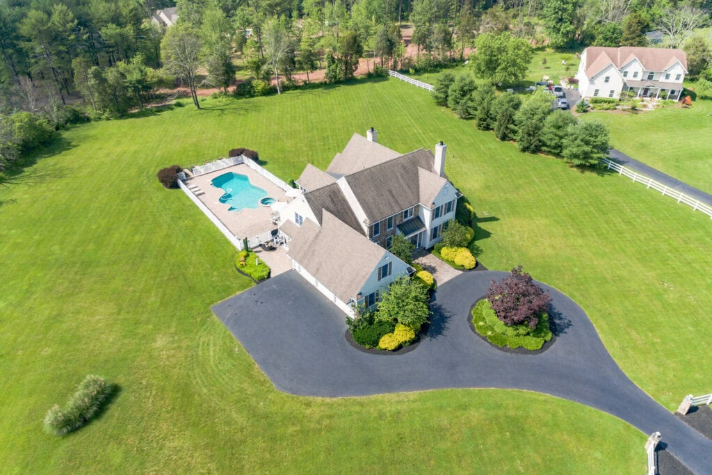
Our workflow integrates industry-standard RTK/PPK equipment, enabling us to deliver results with 1-2cm horizontal and vertical accuracy. Our drones can achieve your desired outcomes regardless of challenging terrain or obstacles.
Aerial surveying offers cost and time savings without compromising quality or precision. We can work with standard coordinate systems or assumed coordinates to meet your needs.
What's Included
We'll provide you the survey data in just about any format needed. We can custom tailor any other devilerables you may need, just let us know!
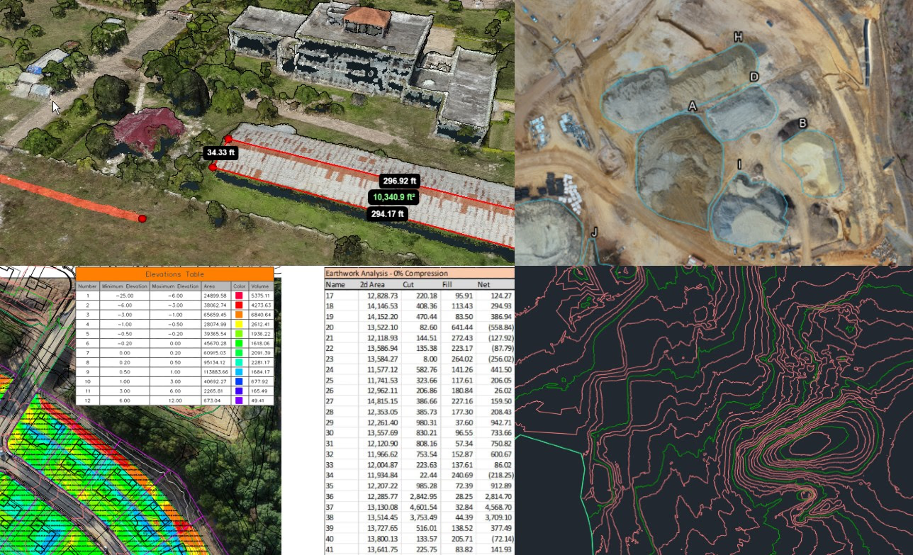
- 3D models and point clouds.
- Contours and DSM/DTM elevation models.
- AutoCAD, Tribmle, Microstation formats
- Water drainage analysis.
- Custom reports. Linear measurements, volume analyis and much more.
