A Bird's-eye View
Our cutting-edge camera systems boast industry-leading resolutions, capturing even the finest details with exceptional clarity. Our drones are equipped with advanced obstacle avoidance technology, enabling swift and secure flights that optimize both safety and efficiency.
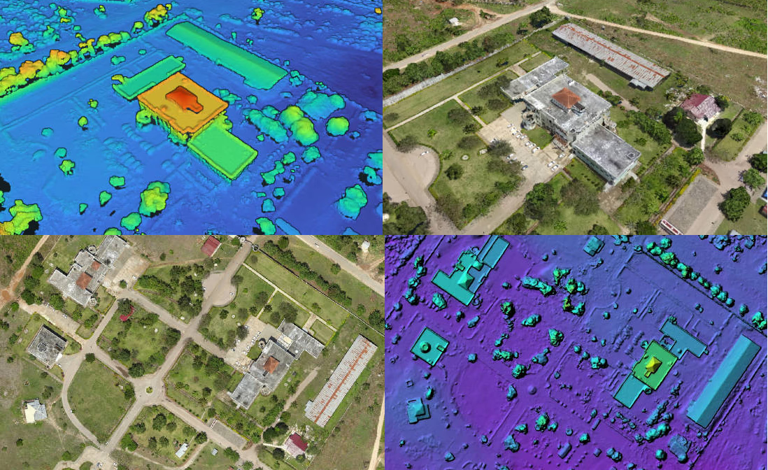
Orthomosaic imagery provides a precise moment-in-time aerial view. These images are meticulously adjusted to correct for various factors, including lens distortion, camera tilt, perspective, and topographic variations. Imagine Google Earth, but with superior quality and precision. This technology empowers you to document sites, monitor progress, identify issues, and unlock numerous other possibilities.
What's Included
Take advantage of additonal tools to further analyze and inspect your site.
- 3D models and point clouds.
- Contours and DSM/DTM elevation models.
- Custom shaded maps. Slope, hillshade, elevations, classifcation.
- Water drainage analysis.
- Custom reports. Linear measurements, volume analyis and much more.
*Accuracy tolerance +/- 3 meters. For precise accuracy check out our surverying service.
